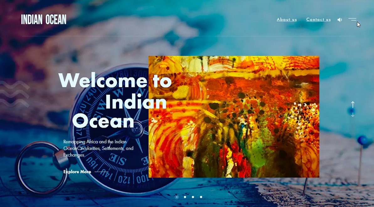
Mapping
an ocean.
A research microsite for Georgetown University Qatar's Indian Ocean project — a scroll-driven public-facing site with an interactive map, source-cited footnotes, and a sibling Arabic edition.
The brief
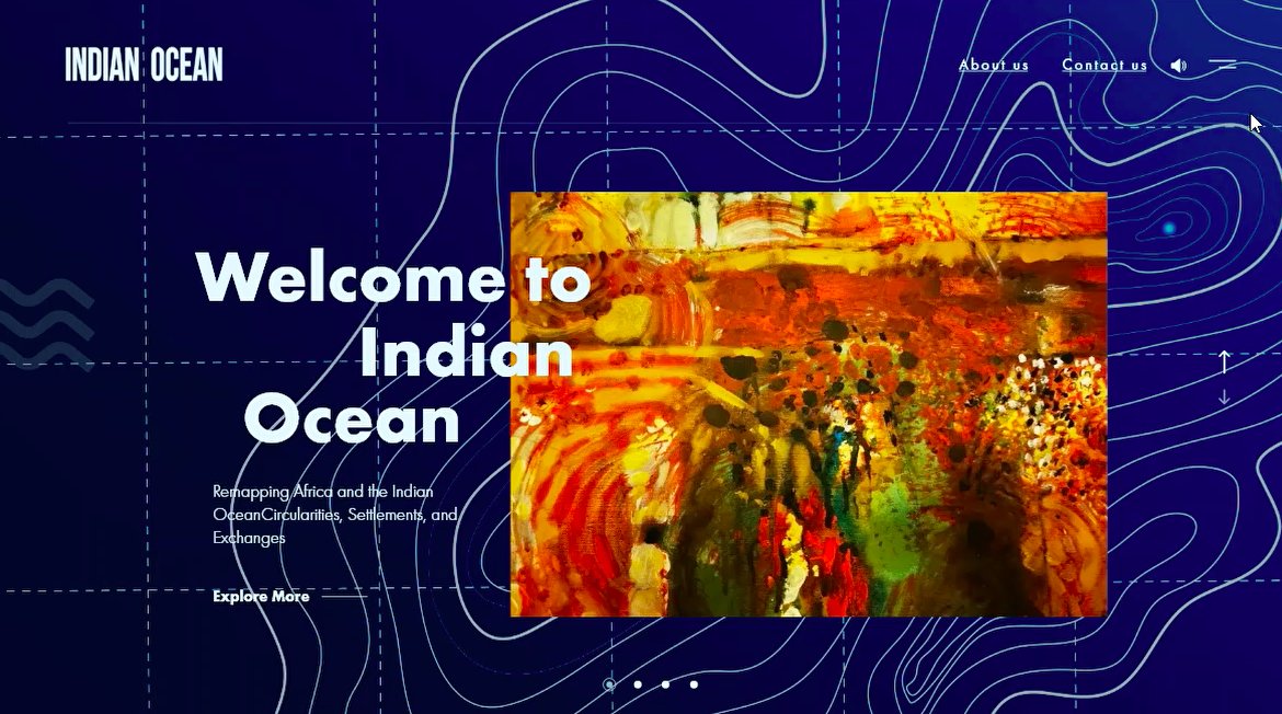
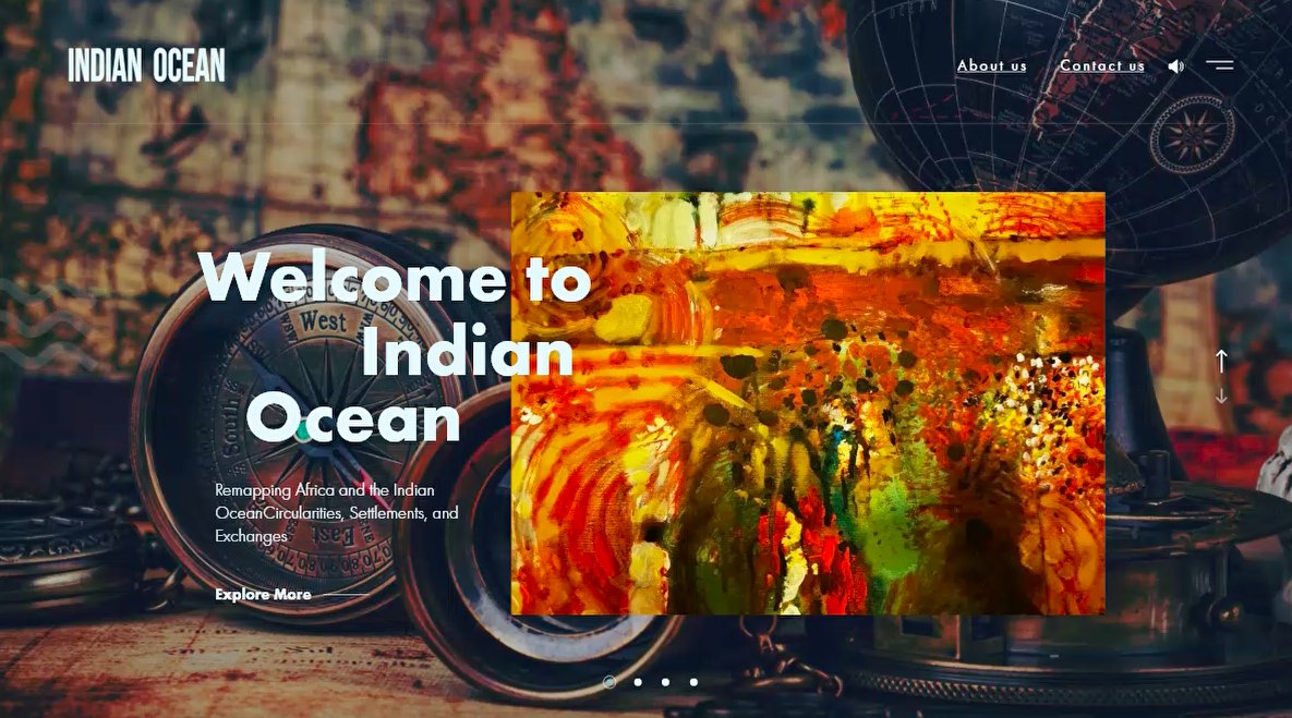
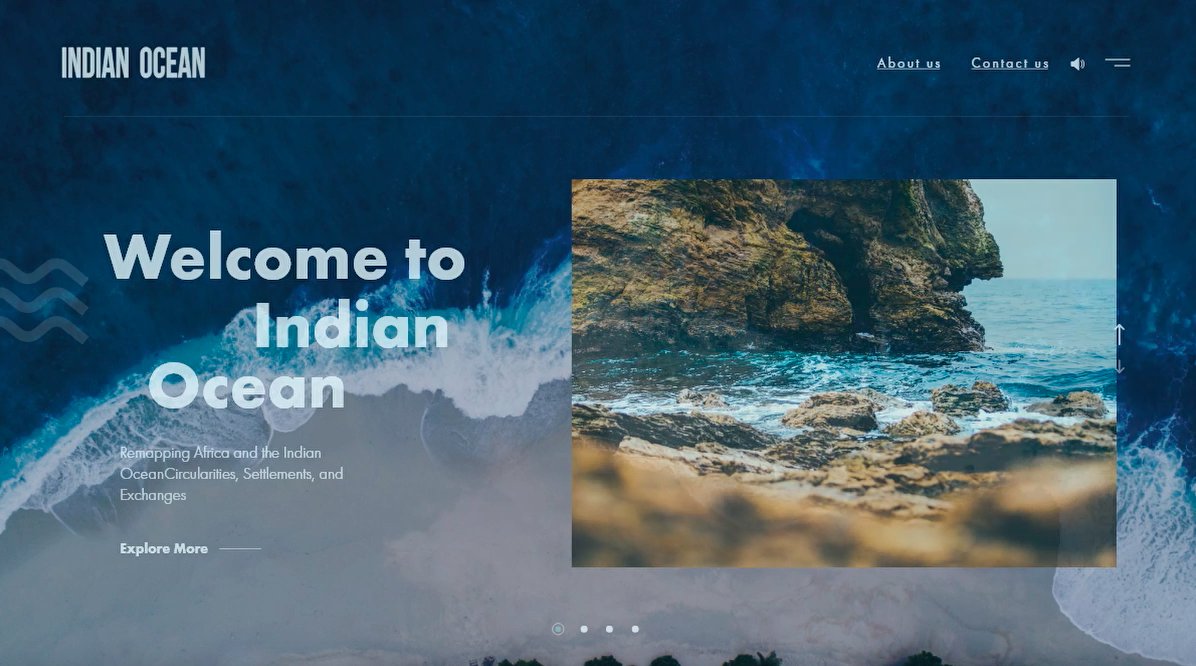
Georgetown's School of Foreign Service ran a research programme on the Indian Ocean as a geopolitical region. The research was deep; the audience — policymakers, journalists, students — needed a doorway that respected the depth without drowning them in it.
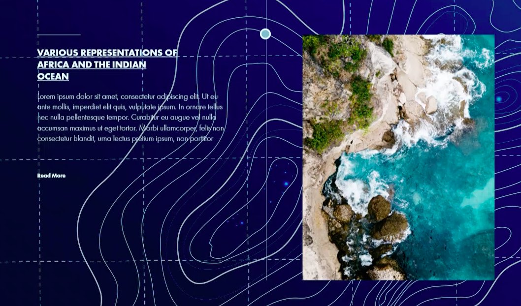
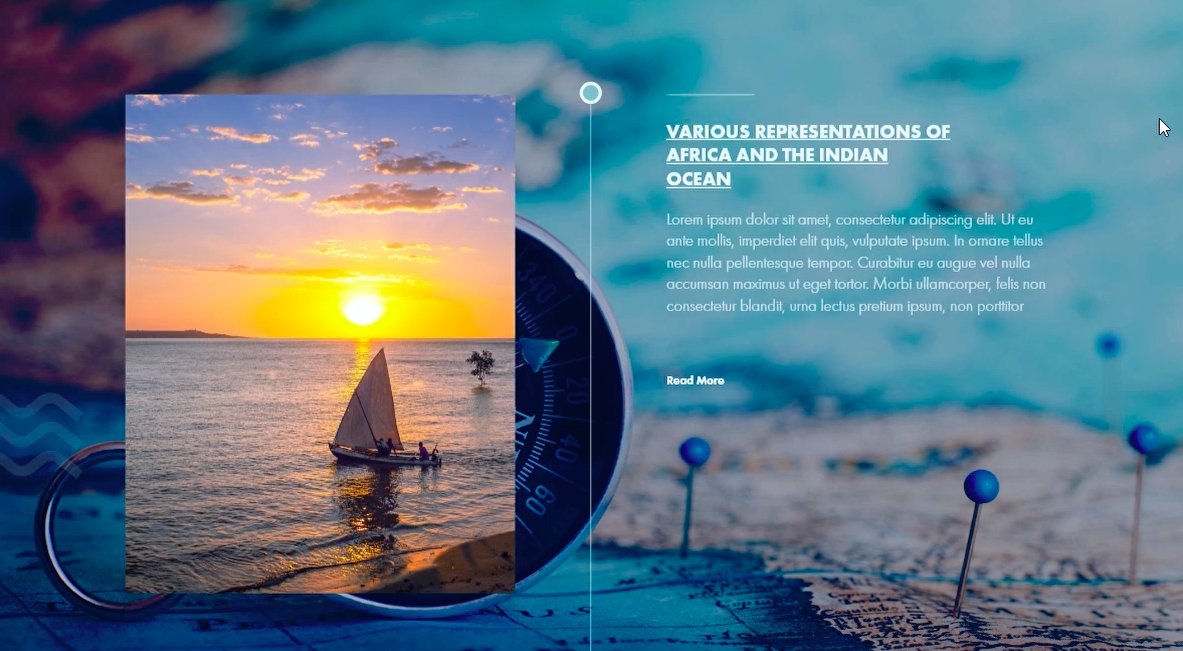
We designed the site as a scroll-driven research journey. An interactive map as the spine, written sections as the stops, source citations in footnotes, and a parallel Arabic edition because the region's conversation happens in both languages.
How we worked
01 — Research-first IA
Spent more time on the information architecture than the visual design.
02 — Map as narrative spine
Interactive Mapbox map with layered data sources.
03 — Source transparency
Every claim linked to its source in a footnote.
04 — Bilingual at the source
AR and EN content modelled as peers in the CMS, not translations.
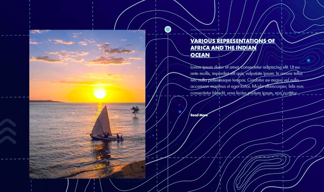
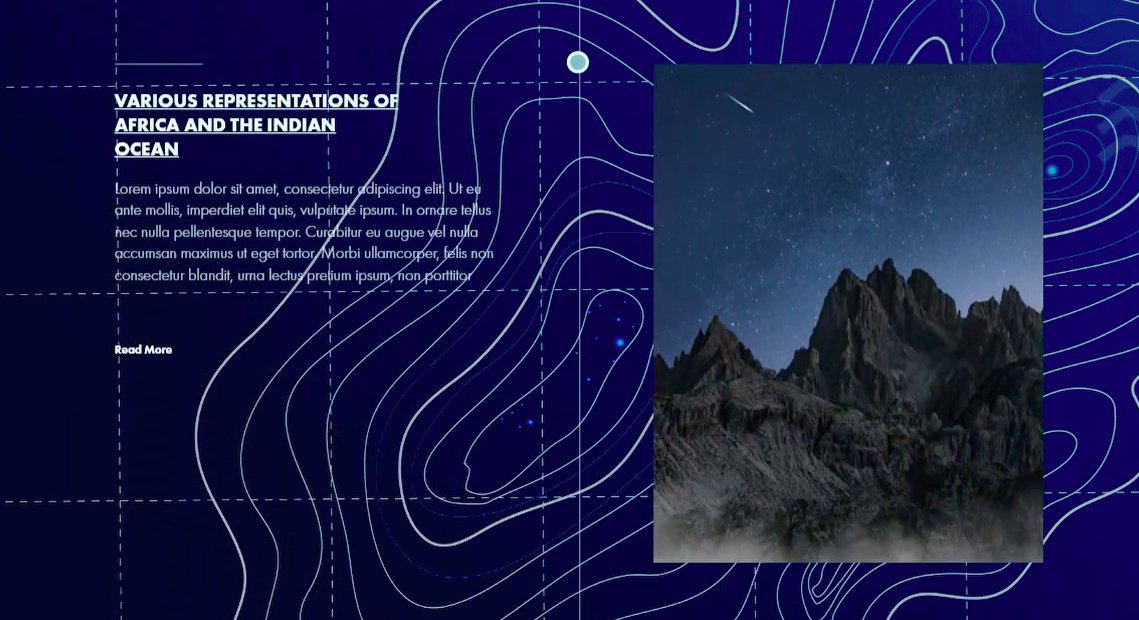
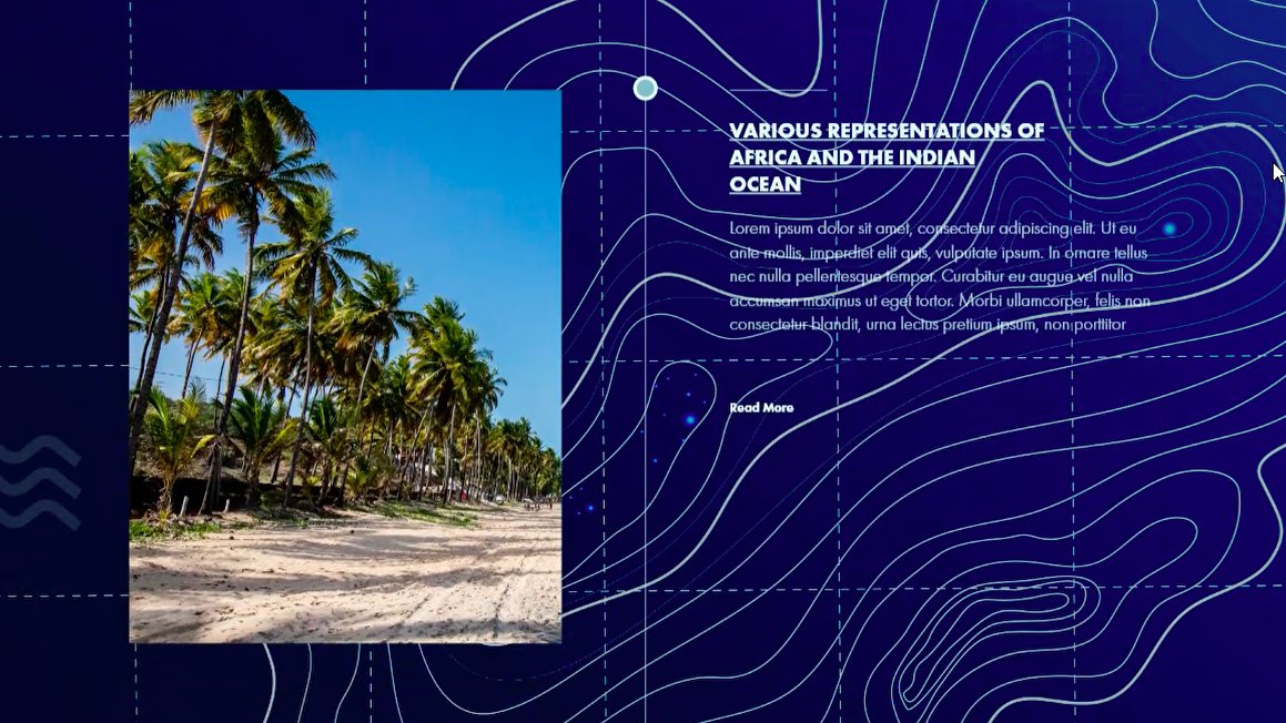
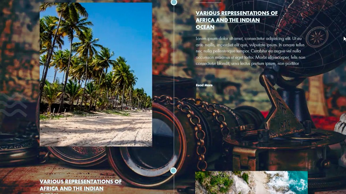
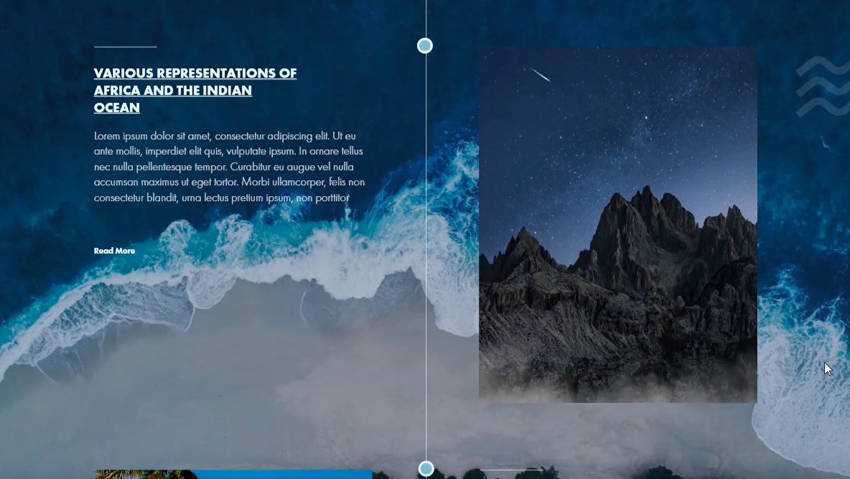
Pages from the scholarly map.
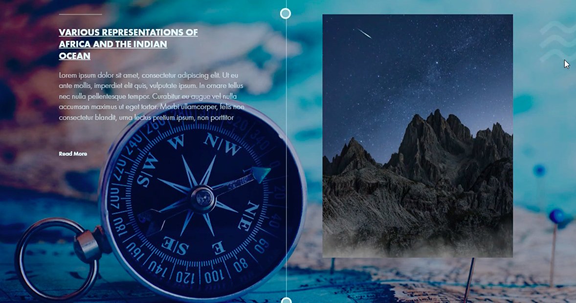
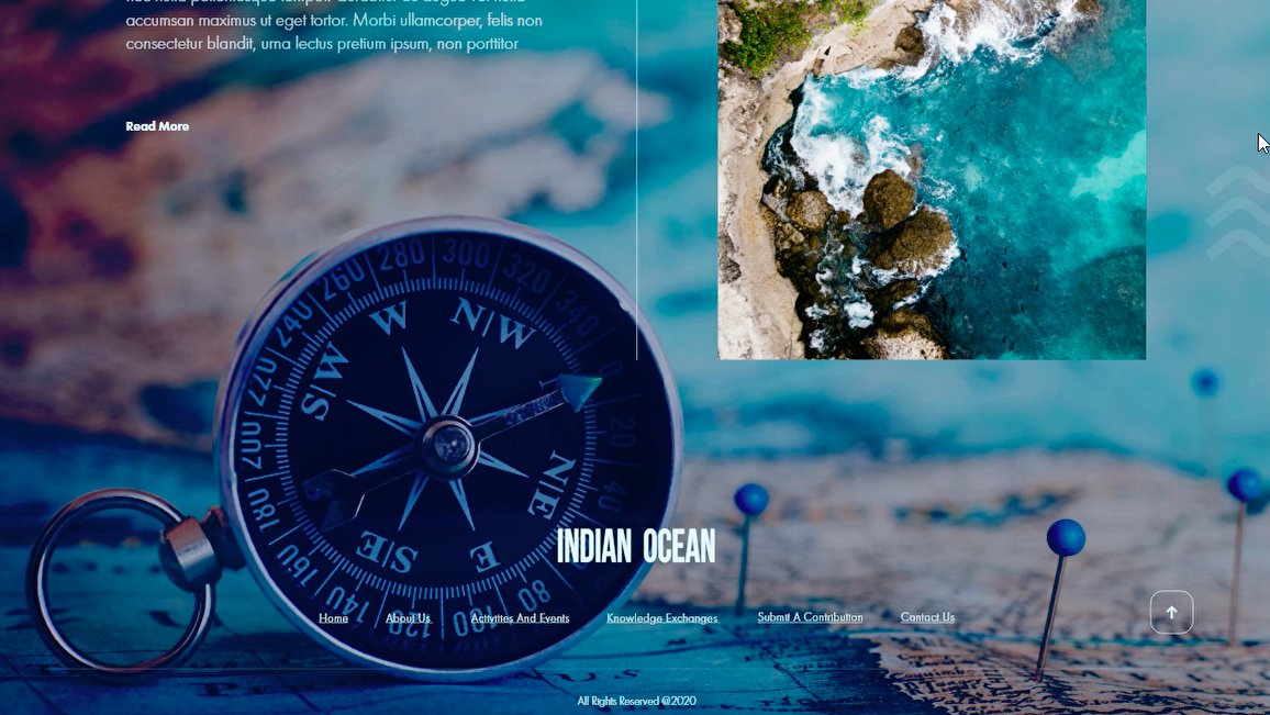
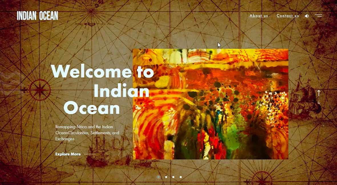
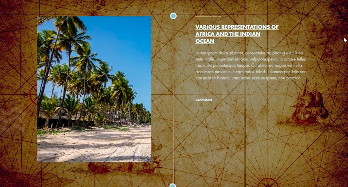
Pages from the interactive scholarly map — timeline, regions, and primary sources.


Read the next case →
Turning research into a public site?
Share the programme and the audience. Proposal back within a business day.
More work from the studio.

A clinic, launched — WestBay Medicare
A full launch programme for a new medical centre in Westbay — brand photography, press releases, social media strategy, paid media, and edit
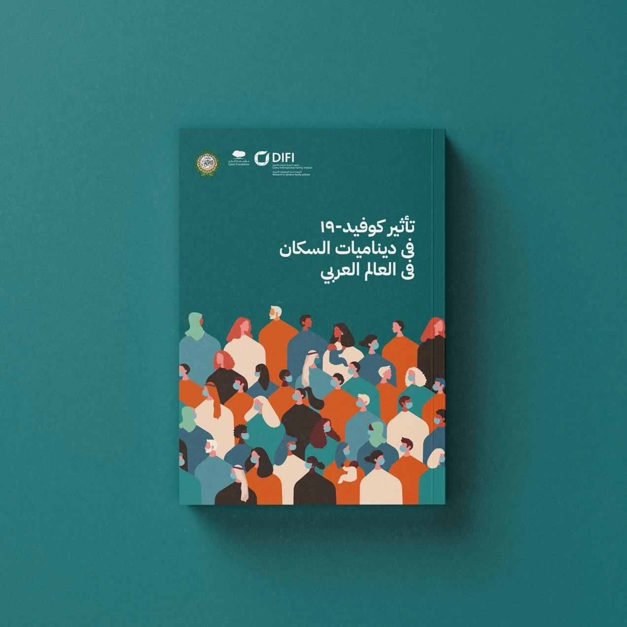
Impact of COVID-19 on Population Dynamics in the Arab World
Bilingual policy report design for the Doha International Family Institute (DIFI) and the League of Arab States
Bilingual, and shipping — QPlastics
For QPlastics we designed a full brand identity and shipped their new bilingual corporate website together